
Breaking News
Millions under winter weather alerts on busy post-holiday travel day
More than 30 million people are under winter weather alerts across the Midwest and Northeast early this week with another storm threatening to upend travelers’ plans on what is expected to be one of the busiest travel days this holiday season.
At least 2 million people are under blizzard warnings in the Midwest, where winds could gust from 40 to 60 mph. Those wind gusts could blow heavy snow around, reducing visibility to less than a quarter of a mile in many warning areas.
More than 5,000 flights within, into or out of the US are delayed Sunday, with more than 500 cancellations, according to FlightAware.
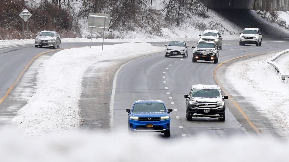
New England will see rain and freezing rain late Sunday into Monday, but the Ohio Valley and I-95 corridor will see mostly rain.
And in the central and southern US, temperatures will go from 20 to 30 degrees above average this weekend to 10 to 15 degrees below average on Monday and Tuesday. The threat of storms as well as damaging winds and possible tornadoes in the South also increased Sunday afternoon.
The worst conditions will be Sunday afternoon through the overnight hours across the Midwest. The National Weather Service office in Des Moines, Iowa, “discouraged” those traveling Sunday into Monday.
“Dangerous travel is expected for much of the next 24 hours! Blowing snow will lead to whiteout conditions over northern Iowa Sunday and Sunday night,” the Weather Service said in a post on X. “Travel in this area is discouraged!”
Additionally, a tornado watch was issued for parts of Illinois, Indiana, Kentucky and Missouri until 8 p.m. CT Sunday, according to the Weather Service.
A tornado was reported to still be on the ground east of Decatur, Illinois, around 3:30 p.m. CT, according to the Weather Service in Lincoln, Illinois. It was moving east at 45 mph and residents were advised to take cover.
Mount Zion, a town in Macon County, Illinois, saw tornado damage Sunday afternoon.
“We’ve got damage all over the place,” said a person who answered the phone at the Macon County Sheriff’s Department.
The line of strong storms has developed along an intense cold front that is sweeping across the central US, which stretched from the Great Lakes down to the Ozarks on Sunday afternoon.
The storms are being fueled by a drastic clash of warm and cold air as the cold front replaces the spring-like warmth that has covered much of the southern and central US since well before Christmas.
Temperatures behind the cold front and the associated storms are crashing quickly. Springfield, Illinois, saw temperatures drop from the 70s to the 40s in only two hours Sunday afternoon.
The storms are expected to lose their intensity quickly after dark as they push across Indiana.
More than 109 million people are expected to travel via car for end of the year trips, according to AAA – an increase of 2% compared to last year, according to the organization.
Sunday’s weather is just the latest in what’s already been a tough travel weekend for those in the northeast.
Portions of the northeast will see a mix of rain and freezing rain Sunday which could lead to ice accumulations of up to a tenth of an inch – in places that have already received snow.

A man shovels snow in Brooklyn on Saturday after an overnight storm. – Spencer Platt/Getty Images
Just over four inches of snow fell in New York’s Central Park Saturday, the city’s most snow since January 2022, about half of the amount the National Weather Service predicted ahead of the storm.
Waiting at LaGuardia Airport Saturday, Felicia Reich said her flight to Fort Lauderdale, Florida, was delayed by one hour.
“I was expecting it, but I was prepared,” she said, bundled up in a heavy coat and orange and yellow knit hat.
At one point on Saturday, more than 30,000 homes and businesses were without power in Michigan, according to poweroutage.us.
CNN meteorologists Allison Chinchar and Brandon Miller contributed to this report.
For more CNN news and newsletters create an account at CNN.com