
Breaking News
As burst of cold air wanes, frigid air is on the way for next week
As this week’s burst of cold, wintery weather is expected to wane on Saturday, more frigid air is on the way for next week.
While no record cold temperatures are expected on Saturday and the feels-like temperatures are expected to improve briefly, most will remain seasonably cold and blustery.

ABC News – PHOTO: afternoon wind chills
Afternoon wind chills on Saturday may reach up to the mid-20s for Chicago, mid-30s for New York City, and mid-40s for Washington D.C.

ABC News – PHOTO: high temps map
Overnight into Saturday morning, places along the 1-95 corridor from Washington D.C. to New York City saw a quick burst of light snow and wintry precipitation. However, this was not enough to accumulate anything more than a light dusting in most places and has already begun to dry out. Some spots from DC to western New Jersey saw measurable snow up to half an inch.
Some lingering icy and slick conditions are possible for anyone going out Saturday morning in these areas, but things begin to improve later in the morning. Wind chills this morning, while still seasonably chilly, are warmer in most places than Friday morning.
Another blast of colder air will bring the Midwest and Northeast back down to near freezing high temps and near to below zero low temperatures by Monday. Meanwhile, the West will begin to warm up with some spots getting close to breaking daily record highs there for next week.

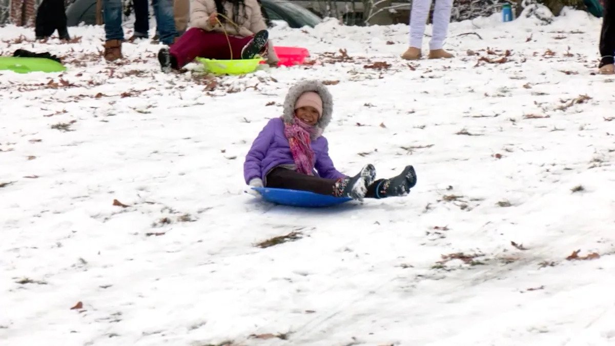
Daniel Heuer/Reuters – PHOTO: Children run in the snow near the Washington Monument after the first snow of the winter season, in Washington, D.C., on Dec. 5, 2025.
A quick-moving snowstorm — aided by lingering cold air — will move through the Dakotas and Nebraska on Saturday before moving into Wisconsin and Illinois Sunday.
The snow moves through the Dakotas and Nebraska into the afternoon, with it reaching Iowa and Minnesota in the early afternoon.

ABC News – PHOTO: quick winter storm map
The heaviest snow will be focused on Iowa and southern Minnesota, where they could see between 3 to 7 inches of snow through Sunday morning. A Winter Storm Warning is in effect for places like Fort Dodge, Waterloo, Mason City, and Worthington.
By the evening, it may start snowing in Chicago and Milwaukee. Snow accumulations could reach up to 3 to 4 inches across the Chicago and Milwaukee areas, but the higher totals will be more towards the west.
At least 1 to 3 inches of snow from Montana and the Dakotas down to southern Wisconsin and northern Illinois.
Daniel Heuer/Reuters – PHOTO: Children run in the snow near the Washington Monument after the first snow of the winter season, in Washington, D.C., on Dec. 5, 2025.
This system continues to move east and brings that next shot of cold air, but begins to break down and will bring little snow to the Northeast aside from some expected, normal lake-effect snow.
Rocky Mountain snow
The Rockies from Idaho and Montana down to Colorado and Utah will see some big snow continue through this weekend, with most places in higher elevations seeing more than a foot of snow and some spots getting more than 2 feet.

ABC News – PHOTO: snow potential map
This snow is currently falling and will continue on Saturday before waning overnight and winding down Sunday morning.
Winter Weather Advisories and Winter Storm Warnings remain in effect for these areas.