
Breaking News
A bomb cyclone is forecast to hit the Southeast this weekend, with snow, wind and flooding. Here are the possible impacts and timing.
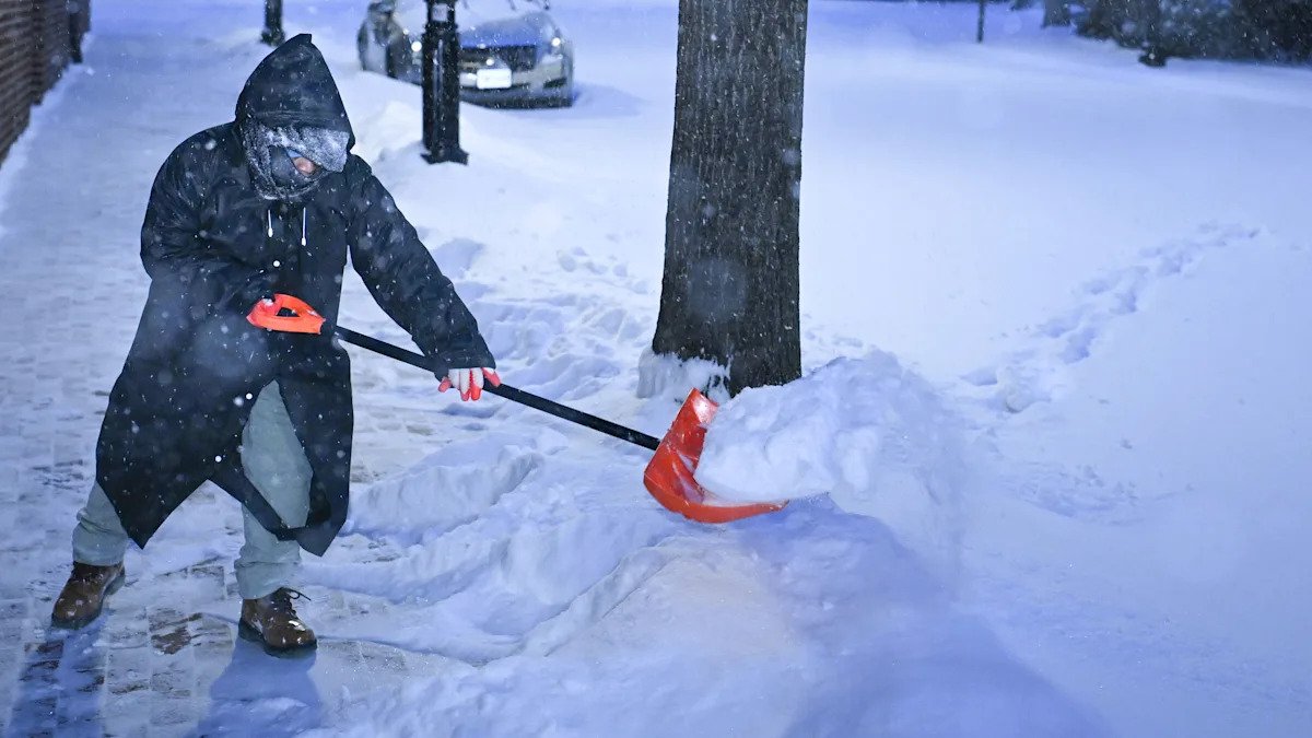
Forecasters are warning that another winter storm will slam parts of the East Coast this weekend — bringing heavy snow, blizzard conditions and coastal flooding — and that it will strengthen into a bomb cyclone. The National Weather Service has issued winter storm warnings and winter weather advisories for southern Virginia, parts of West Virginia, eastern Kentucky, eastern Tennessee, North Carolina, South Carolina and Georgia.
In North Carolina, parts of the state could see their heaviest snow in decades, while potentially strong winds and high tides are raising flooding concerns along the coast, according to AccuWeather.
The forecast comes on the heels of a massive winter storm that dumped heavy snow and ice over a large swath of the U.S. last weekend, leaving hundreds of thousands without power and creating dangerous travel conditions.
“This storm will intensify fast, and that rapid strengthening dramatically raises the potential for damaging winds, coastal flooding, beach erosion and even blizzard conditions,” AccuWeather meteorologist Brandon Buckingham said in an email. “Reconsider any travel plans through the region this weekend. Road conditions will be treacherous and dangerous. Thousands of flights could be canceled yet again this weekend with heavy snow, gusty winds and blizzard conditions in the forecast.”
Possible timing and impacts
Meteorologists say the storm could develop on Friday near the Southeast coast into Saturday and then travel north up the Atlantic Seaboard over the weekend.
Friday night: As the storm organizes off the Southeast coast, snow will spread from the southern Appalachians into parts of southern Virginia, eastern Tennessee, the Carolinas and northeast Georgia, according to the Weather Channel.
Saturday: The winter storm is forecast to strengthen along the Southeast coast, with heavier snow as far south as eastern Georgia and South Carolina’s Lowcountry. Southeast Virginia and eastern North Carolina could see blizzard conditions, with wind gusts reaching up to 70 mph. By Saturday evening, “the explosive deepening of the cyclone and the rapid expansion of its size will bring high winds and coastal flooding potentials rapidly up and down the Eastern Seaboard,” the NWS said in its latest short-range forecast.
Sunday: The storm could reach peak intensity offshore, and snow is likely to end by midday from the Delmarva Peninsula to Virginia and the Carolinas. Snow is possible in parts of New England. High winds and coastal flooding at high tide might impact the East Coast from North Carolina to New England. The storm could linger in parts of eastern New England on Sunday night, before moving away by Monday.
How much snow is forecast, and where?
From Saturday to Sunday, the southern Appalachians, southern Virginia and the Carolinas have a 50% risk of more than 8 inches of snow, according to the NWS. Southeast Massachusetts has a 30% risk of getting more than 6 inches of snow on Sunday.
What’s in the wake of the storm?
The eastern half of the U.S. will also continue to experience frigid temperatures into next week, according to the NWS.
“Arctic air behind the system will bring record cold and dangerously low wind chills near and below zero to the region through Tuesday,” the NWS Weather Prediction Center said.
Over 185 million Americans were under some form of cold-weather advisory or warning as of Friday.
“This is a serious and deadly stretch of winter weather that just won’t let up,” Buckingham said. “Extended cold and back-to-back storms can create a domino effect of travel disruptions and costly shutdowns. Some schools and businesses have been closed for much of the week.”